
The Big Island is over 4,000 square miles in area and rises from sea level to an elevation of 13,803 feet. The significance of these statistics is that Hawaii has many climates. In fact, it has 8 to 11 (depending on interpretation) of 13 recognized climate zones. We experienced them all…

From Hilo Harbor (0 feet) to Mauna Kea (13,803 feet), palm trees to snowcaps
The arid, desert steppe is actually located along the most well-known area of the island, the beaches north of Kona on the west side where visitors stay at high-end resorts. This keeps vacationing folks comfortable most of the year without the rain that hits other parts of the island. Water is piped in to meet needs and provide irrigation for lush vegetation.

Beach at Mauna Kea Resort – a desert?

Just south of Kona is considered a humid tropical climate. It has perfect conditions for growing Kona coffee.
Hilo on the east side is in the humid tropical climate, considered “continuously wet.” Our host in Hilo said he had 140 inches of rain annually in his old home so he moved about 10 miles south and now has only 100 inches of rain. He has a lovely garden with various fruit trees and flowering plants.
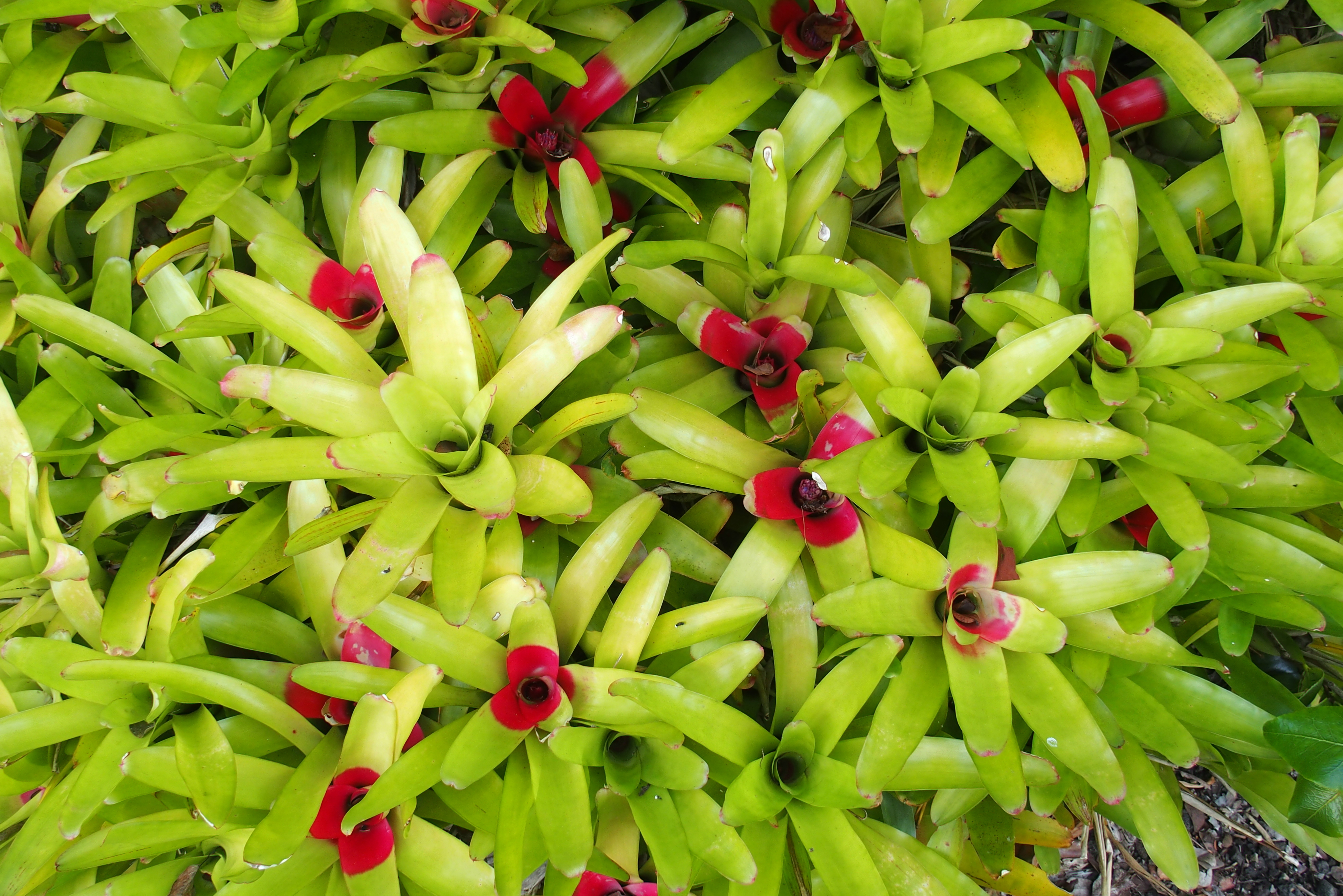
Our host’s bromeliads. They grow in bunches around the fruit trees.
We did have heavy rain one day when we ventured north into the region north of Hilo near Waimea identified as “monsoon” climate.

Waipio Valley. It’s very difficult to get to the valley. Four-wheel drive only (or a steep hike). The area is good for agriculture, possibly some marijuana fields hidden away.
The inner parts of the island have a temperate climate.

These cows look just like the ones grazing in California near the ocean, only here in Hawaii the grass is a bit greener.
Temperate, too, though not as lush.

Still temperate. Eventually this may turn into rainforest.

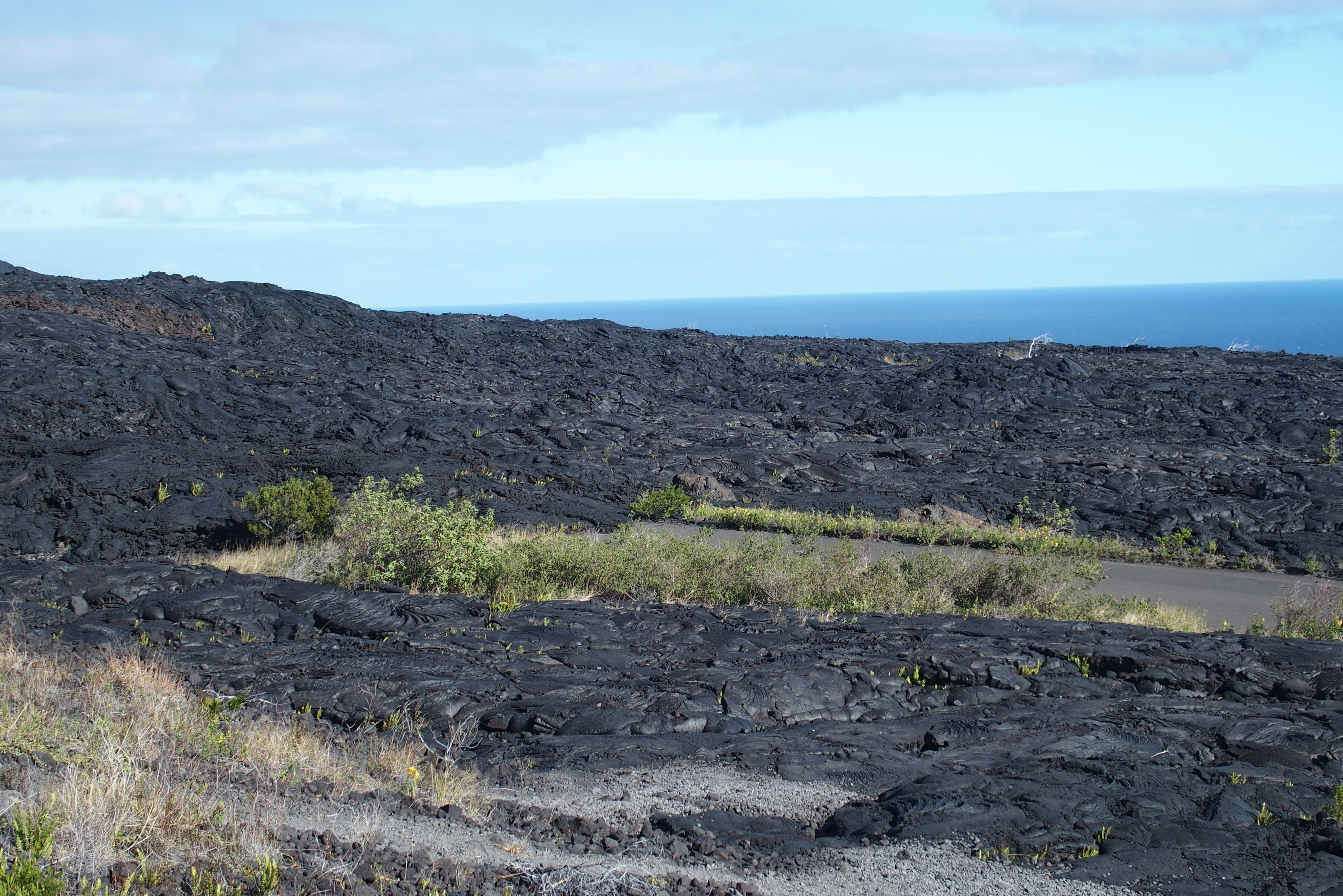
A grassland developing on the lava field.

Under this rainforest trail is lava. It leads to the volcano, but the trail beyond was closed for safety concerns.

Looking down onto the tops of a lush palm forest.

What killed these trees on the way up Mauna Kea?
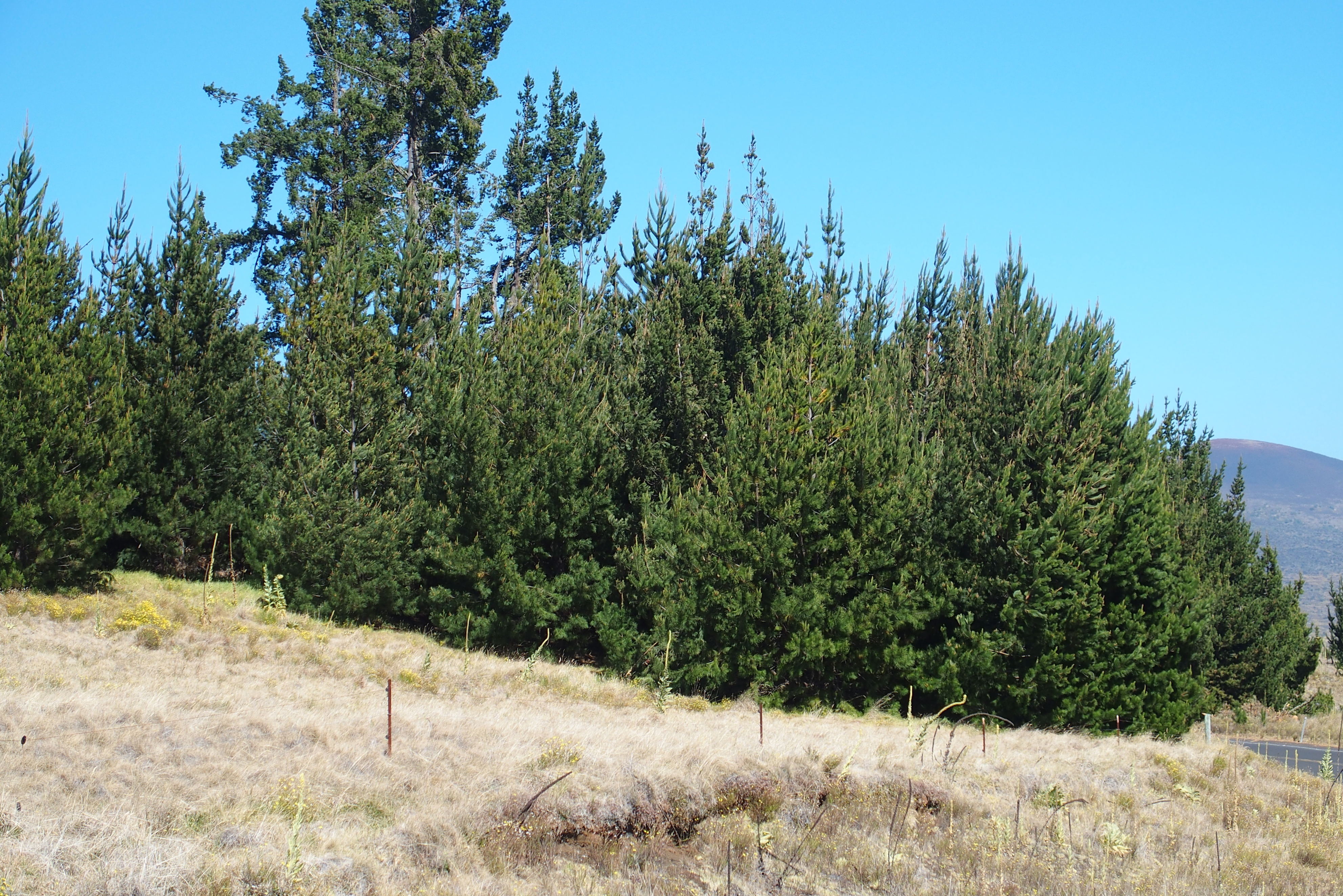
We didn’t expect to see pines growing here.
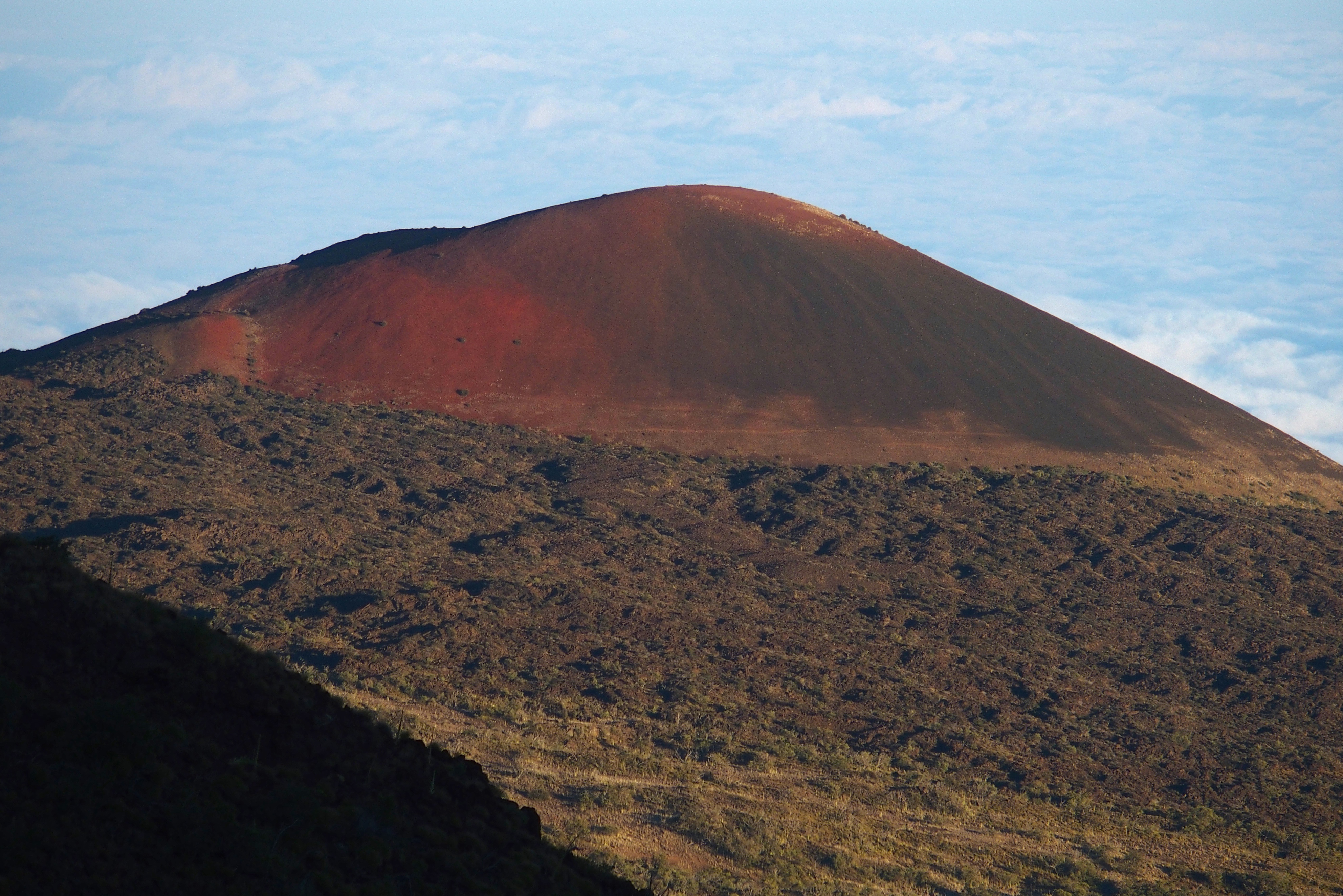
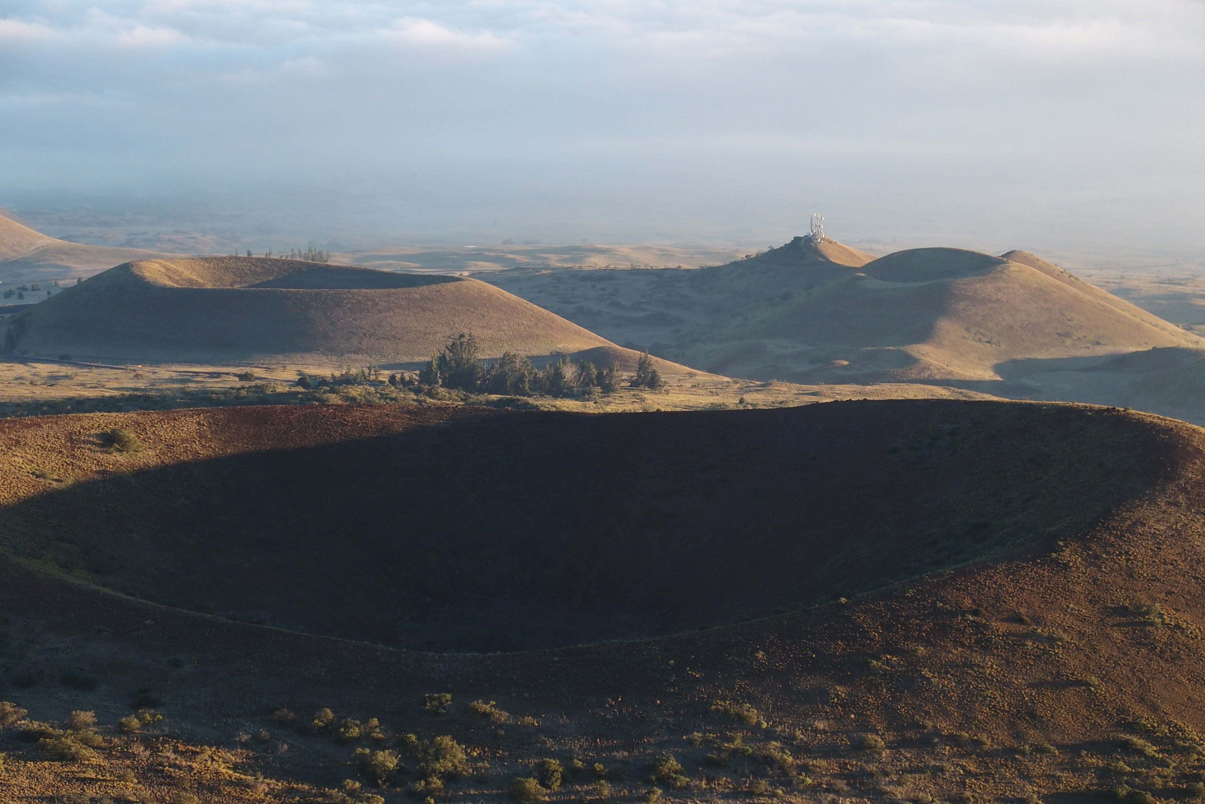
This volcanic cone is red because the last gases coming from the eruption are full of iron. Effectively it’s a rusted volcano.
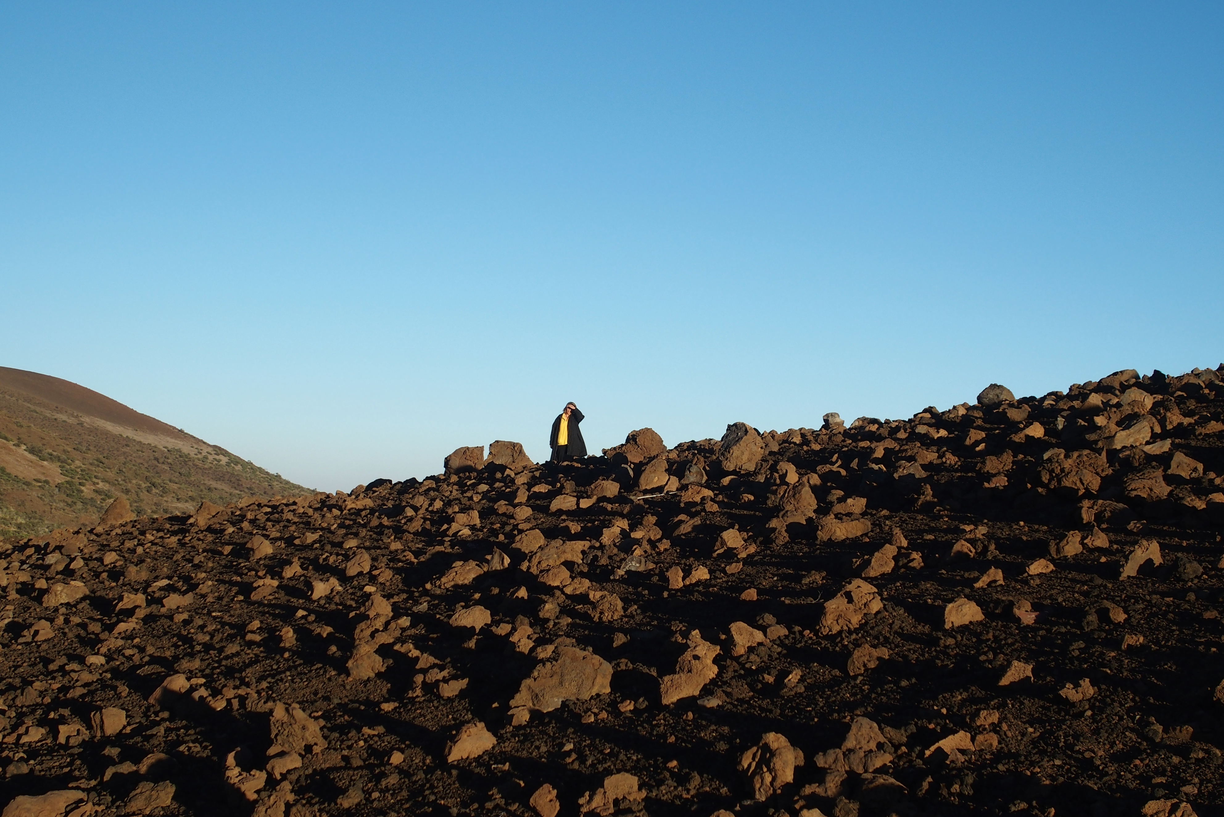
This rockpile is still classified as a temperate climate.
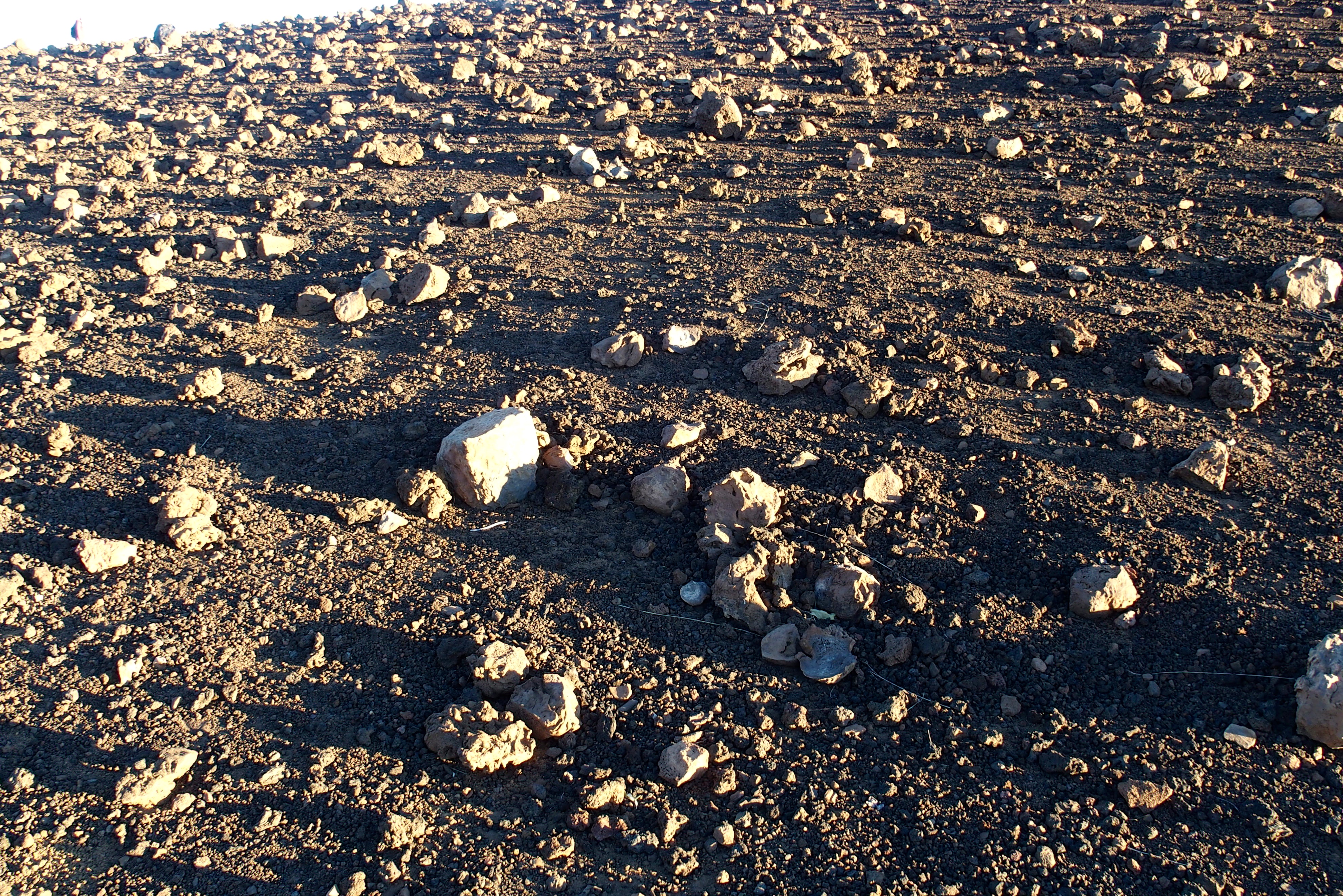
These could be moon rocks.

Are we still in Hawaii?
Are we still on this planet?
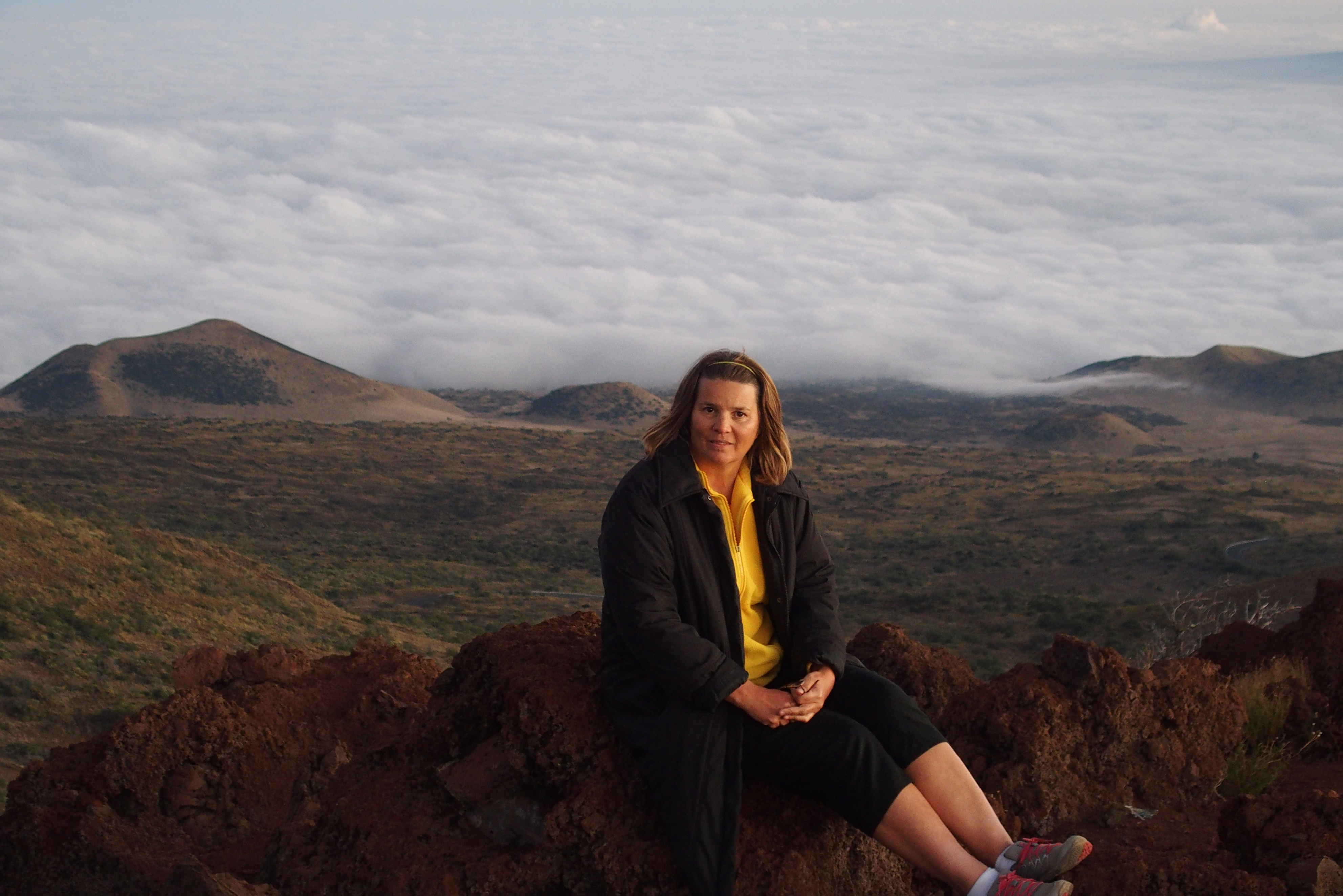
We’re about 9,000 feet up Mauna Kea, above the clouds.
Finally the tops of Mauna Loa and Mauna Kea are in the polar or ice climate. Yes, polar, with a frozen tundra.

Mauna Kea. People were skiing here when we arrived.
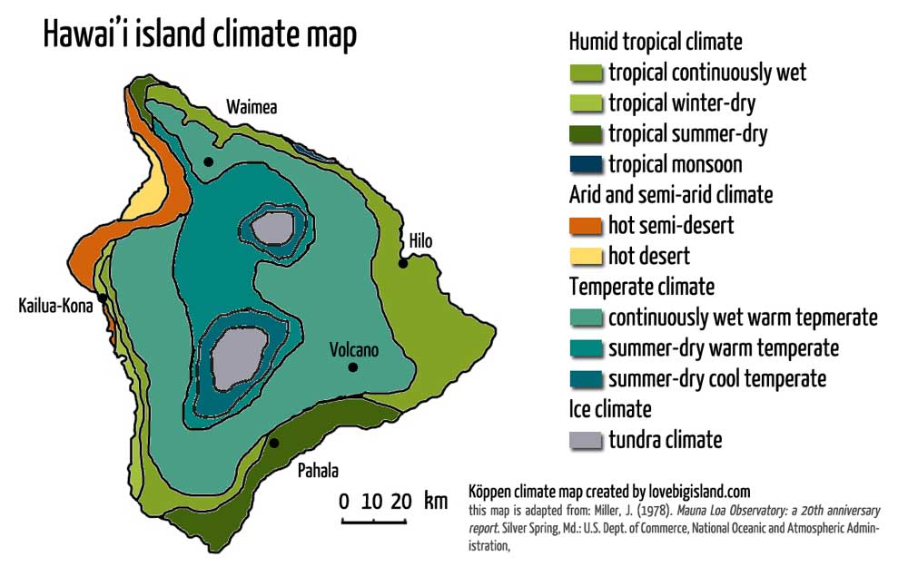
Hawaii’s climate map, courtesy of the Mauna Loa Observatory
Just one more day in Hawaii…
